Winter-Ready Smart Cities: Using IoT to Manage Snow, Ice, and Salt
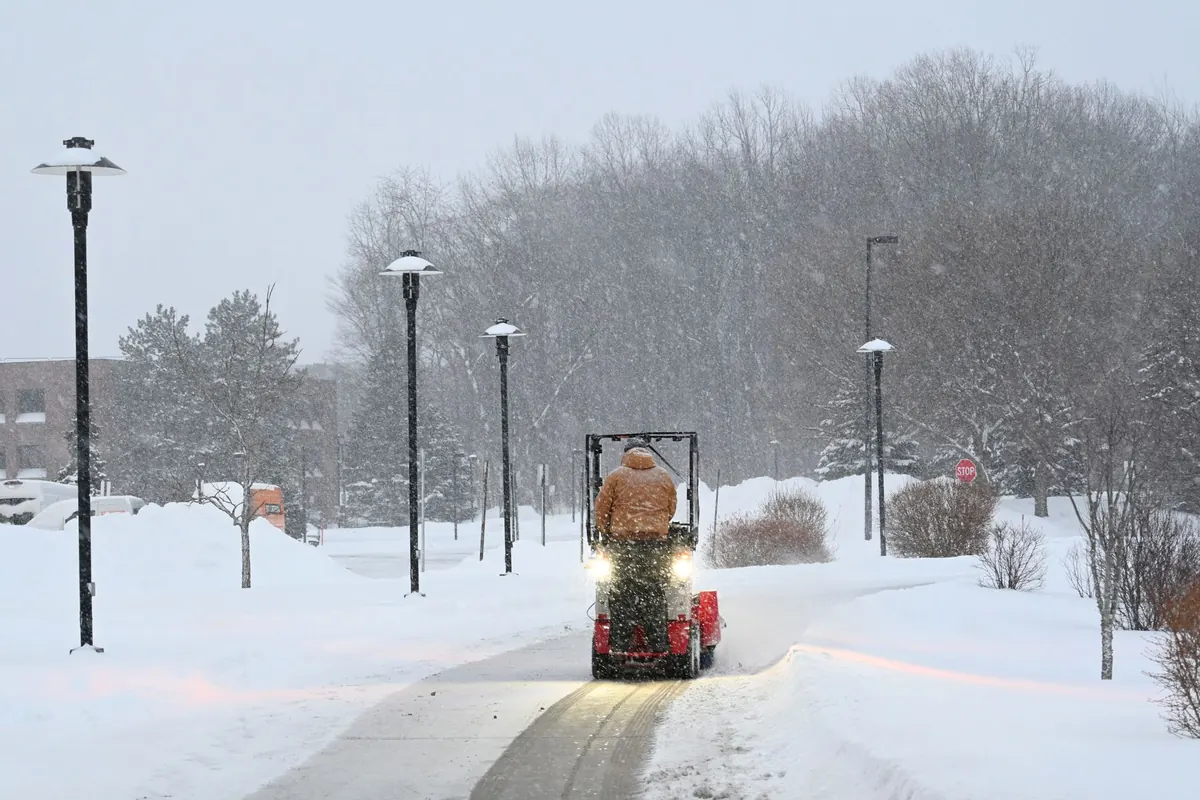
The call comes at 3:40 a.m.: freezing rain, bridge decks glazing over, temperatures sitting right at the line where salt stops helping and starts polluting. A crew chief has to decide which routes get treated, with what material, and in what order — then defend those choices in March, when the council sees the tonnage bill. Winter is where a city's data ambitions meet their hardest test. The encouraging part is that most of the tools for passing it are already on the market, on the trucks, and increasingly under the pavement.
Summer data is forgiving. Traffic counts and parking occupancy move slowly enough that a weekly report still tells you something useful. Winter doesn't cooperate. Pavement temperature can swing five degrees in an hour, and the difference between a wet road and a skating rink often comes down to a single degree.
It's also uneven. Bridges and overpasses freeze before the road on either side because cold air moves underneath them. Shaded hillsides hold ice long after the sun has cleared the rest of the route. A city that treats every street the same ends up oversalting the easy ones and undersalting the ones that matter.
That mismatch is where both the money and the environmental damage come from. Rock salt is cheap per ton and expensive per mistake: it loses much of its effectiveness as temperatures drop well below freezing, it corrodes vehicles and bridges, and the chloride it leaves behind reaches creeks and wells. Applying less, in the right places, at the right time, is the whole goal.
The sensors involved are unglamorous and reasonably well established. They fall into two groups.
Road weather information stations sit beside highways and arterial roads, measuring air temperature, humidity, wind, precipitation type, and — most useful of all — pavement temperature and surface state. In-pavement sensors, especially on bridge decks, indicate whether the surface is dry, wet, chemically wet (meaning salt is still working), or icy.
The newer layer moves. Plows and supervisor trucks with infrared surface thermometers and connected controllers send readings as they drive, turning a handful of fixed stations into thousands of daily observations across every route. Conditions two blocks away are rarely the conditions at the airport sensor.
What's worth tracking, in plain terms:
A GPS dot on a map tells residents where the plows are. It tells an operations manager very little about whether the job was done well. Connected winter maintenance equipment goes further: controllers on the spreader record application rate, ground speed, and material type; plow sensors confirm whether the blade is down and in what position.
Together, that creates a record you can audit. You can see that a truck applied twice the target rate on a street that didn't need it, or that a hill on the priority route was skipped because the truck turned around early. Across a winter, those small corrections add up to real tonnage.
Route optimization is the other half. Comparing live conditions against the priority network lets a supervisor send heavy equipment where the ice actually is, rather than following a paper route designed for a different storm — and lets the city explain later why a street was treated first.
Data has to become a decision, and most winter decisions are one of three: whether to act before snow starts, what material to use, and when to stop.
Anti-icing — spraying brine or a light salt application before a storm — works best when the forecast and pavement temperatures support it, because a treated surface stops ice from bonding in the first place. De-icing after the fact costs more material, more passes, and more fuel.
Material choice depends heavily on temperature. Straight rock salt weakens as it gets colder and is usually paired with pre-wetting or an additive in the coldest hours. Sand provides traction but no melting, and it adds sediment to waterways, so it's best reserved for specific spots. Getting this right requires pavement temperature along the route, not the reading from a station across town.
The stop decision matters just as much. Crews under pressure keep spreading because the road looks wet. A documented pavement temperature, or a residual-salt reading, makes the case for stopping — and that's usually where the biggest savings hide.
Not every city needs a full sensor network in year one. The cheap wins come first:
If you're responsible for a road network, work through this before the first forecast:
If you're a resident, the useful contribution is patience and reporting. Give plows room, don't pass a spreader on the right, and tell the city about the one street that always ices over. That local knowledge is a data point no sensor network supplies.
Winter readiness isn't about buying the most technology. It's about knowing the temperature of the road, the rate your trucks are spreading, and the moment to stop — then doing that consistently, storm after storm.
Photo: Marri Shyam / Pexels
Previous Post
7 Common Mistakes Cities Make When Deploying Public Wi-Fi
Next Post
How to Run a Neighborhood Air Quality Monitoring Project with Low-Cost Sensors